Our Technology

If the heat in the core of our planet would only be produced as the result of the decay of the radioactive elements, it would hardly be sufficient for the volcanic activity and tectonic shifts. However, the iron-nickel hydride theory provides a much more feasible explanation for the enormous amount of energy produced by the core of the Earth. The chemical reaction of iron-nickel hydride decomposition into iron-nickel alloy and hydrogen is experimentally proven to be exothermic. Provided the scale of the processes in the core of our planet, the amount of energy released is colossal and sufficient to explain the phenomenon of volcanic activity and tectonic shifts. During the same reaction of decomposition, the hydrogen is released in huge volumes. Being the lightest element in the periodic table, it starts its slow journey from the core to the surface. At certain depths, it is likely to meet oxidized rocks and a very well-known reaction occurs:
2H+O=H2O
As an outcome of the constant reaction of decomposition, the pressure at the core is constantly rising. At certain levels, it is sufficient to form tectonic cracks in the Earth’s crust, through which liquid and gaseous substances find their way to the surface. Part of these substances is forming into water. A vivid illustration of that is the generally anticipated fact that water vapor constitutes up to 95% of volcano eruption matter.
From the practical point of view, an in-depth understanding of water formation and distribution processes allows us to source nearly infinite amounts of water in any geographical location.
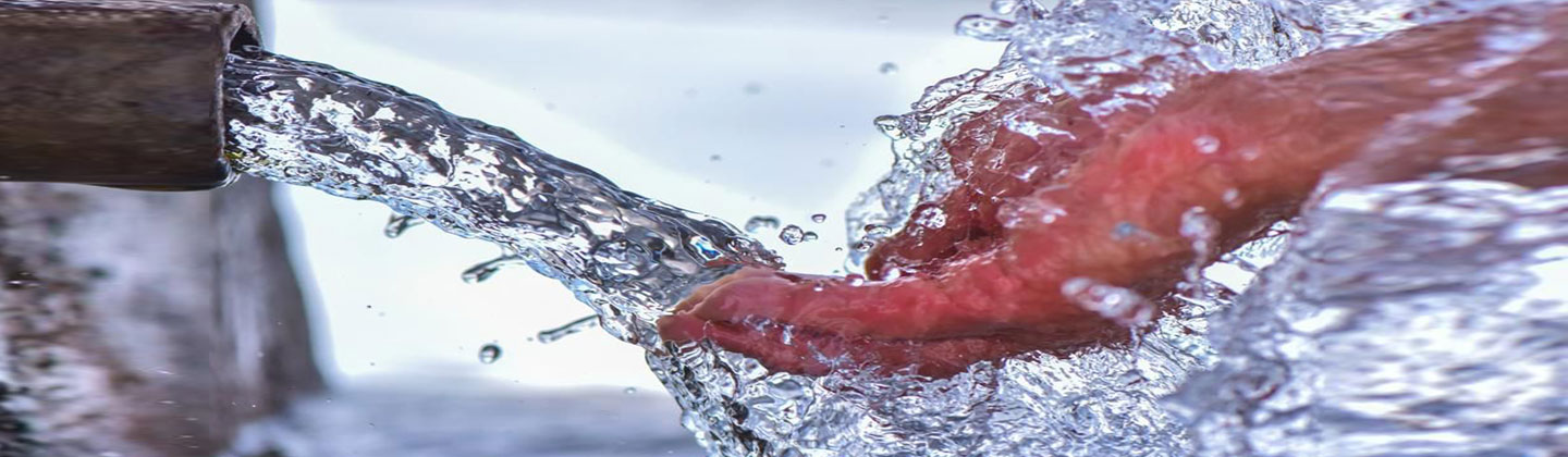
Simply drilling right into a tectonic fracture corresponding to certain criteria allows releasing massive amounts of clean pressurized drinking water with a stable supply. The geo-scanning method developed by us resembles the hammer seismic method. However, we record and interpret not only a standard echo signal, as classical seismic suggests, but employ resonant modes that allow us to obtain additional information. As a result, with the use of a unique combination of hardware and software tools, we have devised a unique method allowing us to precisely pinpoint water-bearing cracks (zones of tectonic disturbance) and determine their exact coordinates, depth, and yield with outstanding accuracy.
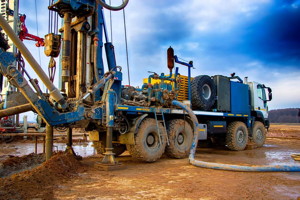
Requirement for Drilling Process
Drilling depth: Usually the drilling depth is less than 200 meters, but the drilling company has to be able and ready to provide drilling services for over 200 meter depth – in cases there are clay or lime strata that contain salt water present, those have to be drilled through completely.
Drilling Rig: Drilling rig technology must be air-flushed. If other drilling fluids must be resorted to, only those containing pure cellulose can be considered.
Borehole Supply: The borehole must be thoroughly flushed after drilling (airlift, or mud pump). After flushing, the water point must be established.
In cases where layers of salt water are discovered or the well has unstable walls, the drilling com- pany should be able to provide selective casing or use packers /or it is mandatory to employ flow measurements to determine layers with unsalted water.